Largest Earthquake to Hit Borgarfjörður in Decades
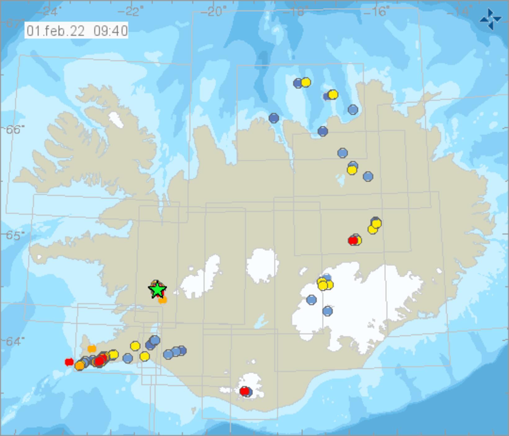
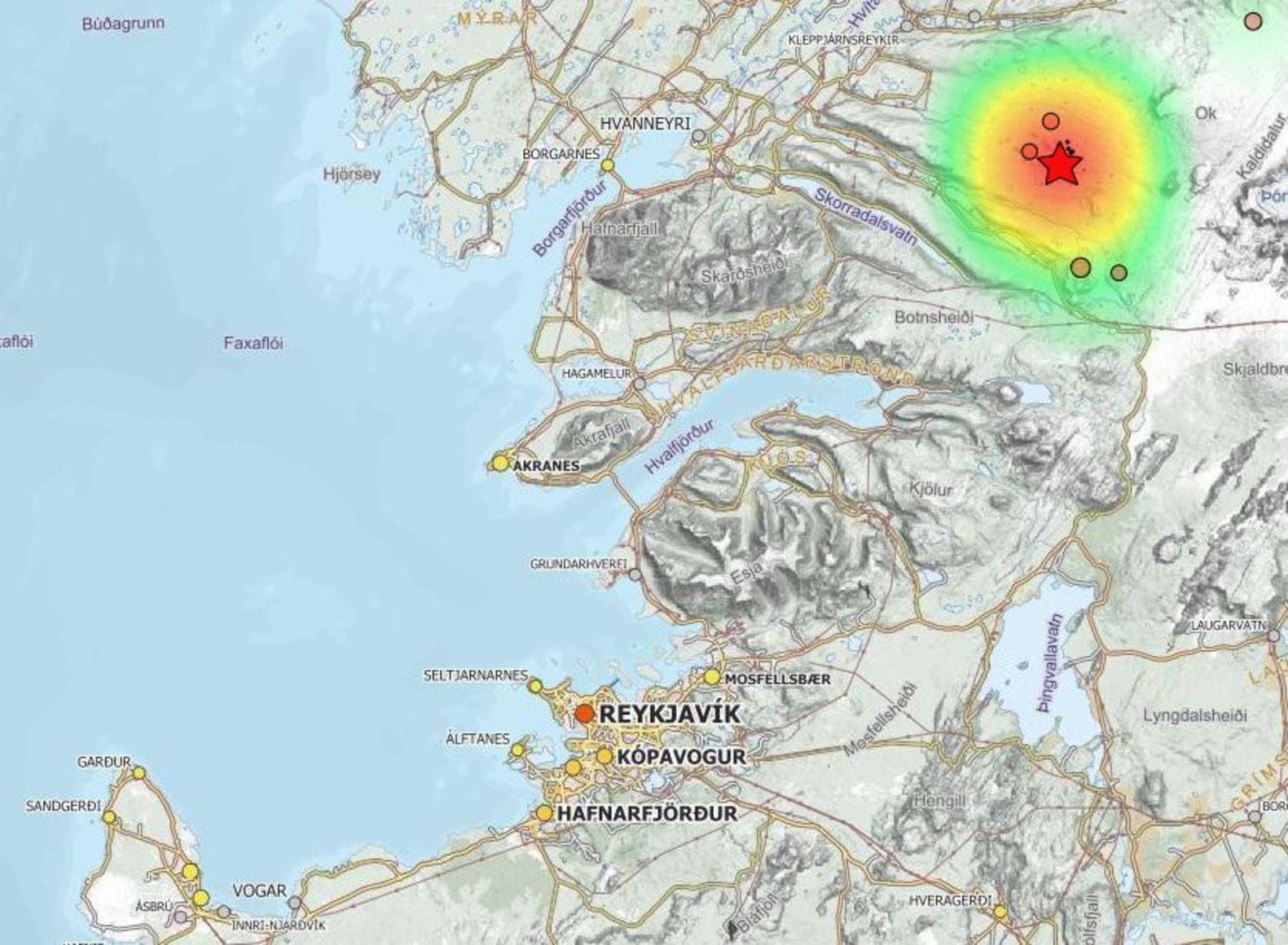
An earthquake of magnitude 3.7 occurred in the Húsafell area, West Iceland, five minutes past midnight, mbl.is reports. The source of the quake was 18.5 km southwest of Húsafell, at a depth of 3 km. More than a dozen aftershocks followed, one of which measured 3.0 at 1:15 am.
An swarm of earthquakes has been ongoing in the area since the beginning of the year (see our previous report here ), and until now the largest ones have measured 3.3 and 3.1. The M3.7 quake was felt in Borgarfjörður, as well as in the capital area and in Akranes.
It is the largest earthquake to hit this area in decades and the largest swarm of earthquakes in the area on record, that is, since the Icelandic Met Office started monitoring the area in the 1990s.
Between January 17 and 23, considerable seismic activity was noted in this area, which is west of Ok — the former glacier, which you may have read about in 2019 , when it lost its classification as such. The earthquake rate in this area has approximately doubled every week since late December, reaching 171 events January 17-23.
In an interview with Morgunblaðið earlier in month, geology professor Páll Einarsson called this seismic activity an interesting research project. He did note, though, that the area is not one of volcanic activity.
“There is no reason to believe that this is connected to magma movements,” he stated. “Most likely, this is one of those occasional intraplate earthquake swarms. This is occurring inside a tectonic plate, not at a tectonic plate boundary, nor is it in the volcanic zone of the Snæfellsnes peninsula.”


