Severe Gale Forecast for Tonight
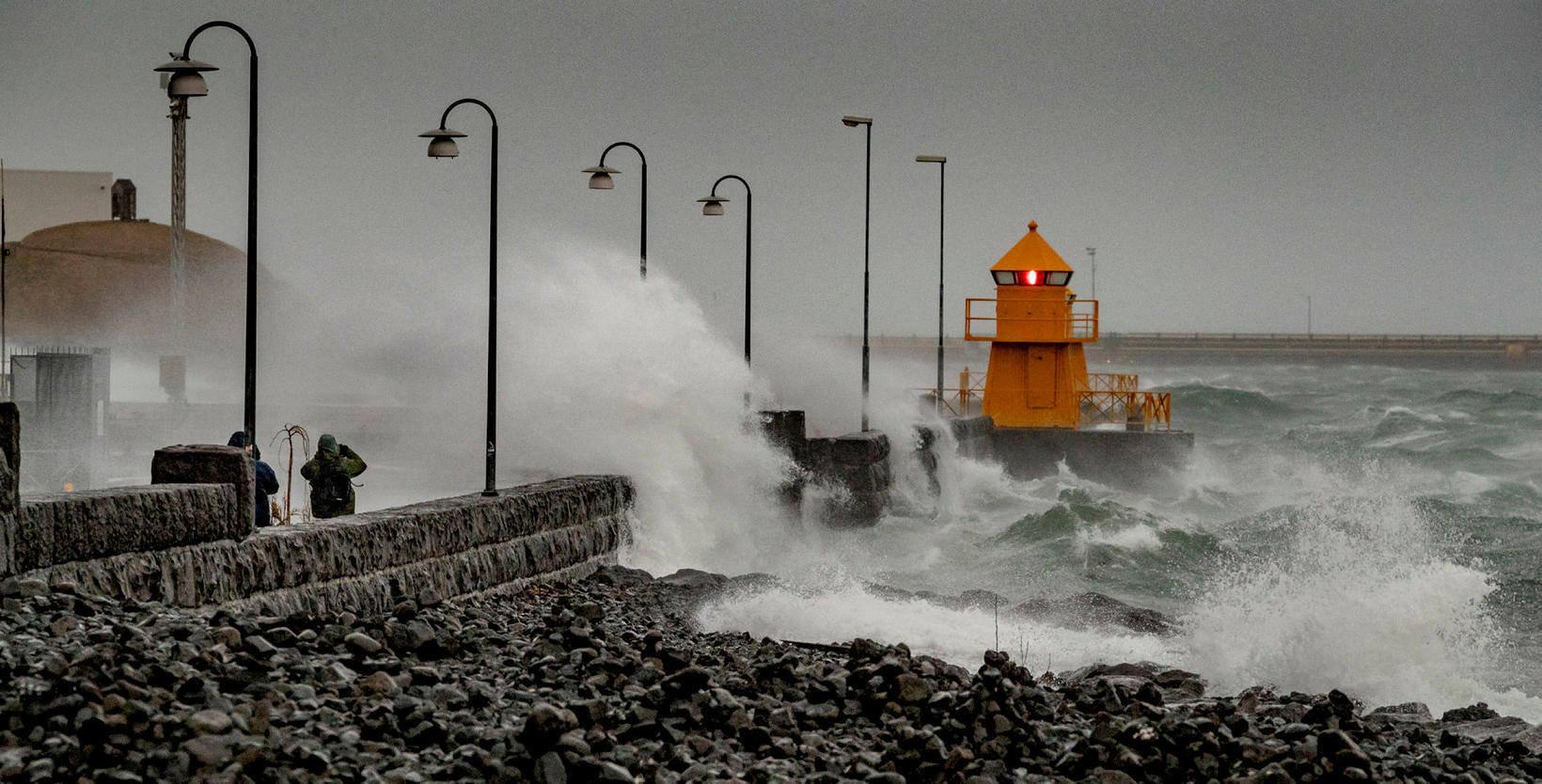
Archive photo. mbl.is/Árni Sæberg
A yellow weather alert has been issued for West Iceland, Southwest Iceland and the central highlands for tonight. People are asked to exercise caution in harbors and near the coast, especially in the south and west, mbl.is reports.
In the southwest part of the country and in the Faxaflói bay area, a gale or severe gale is expected with sustained wind speeds of 20-25 m/sec. Strong wind gust are expected near mountains, especially near Eyjafjallajökull and Mýrdalsjökull glaciers.
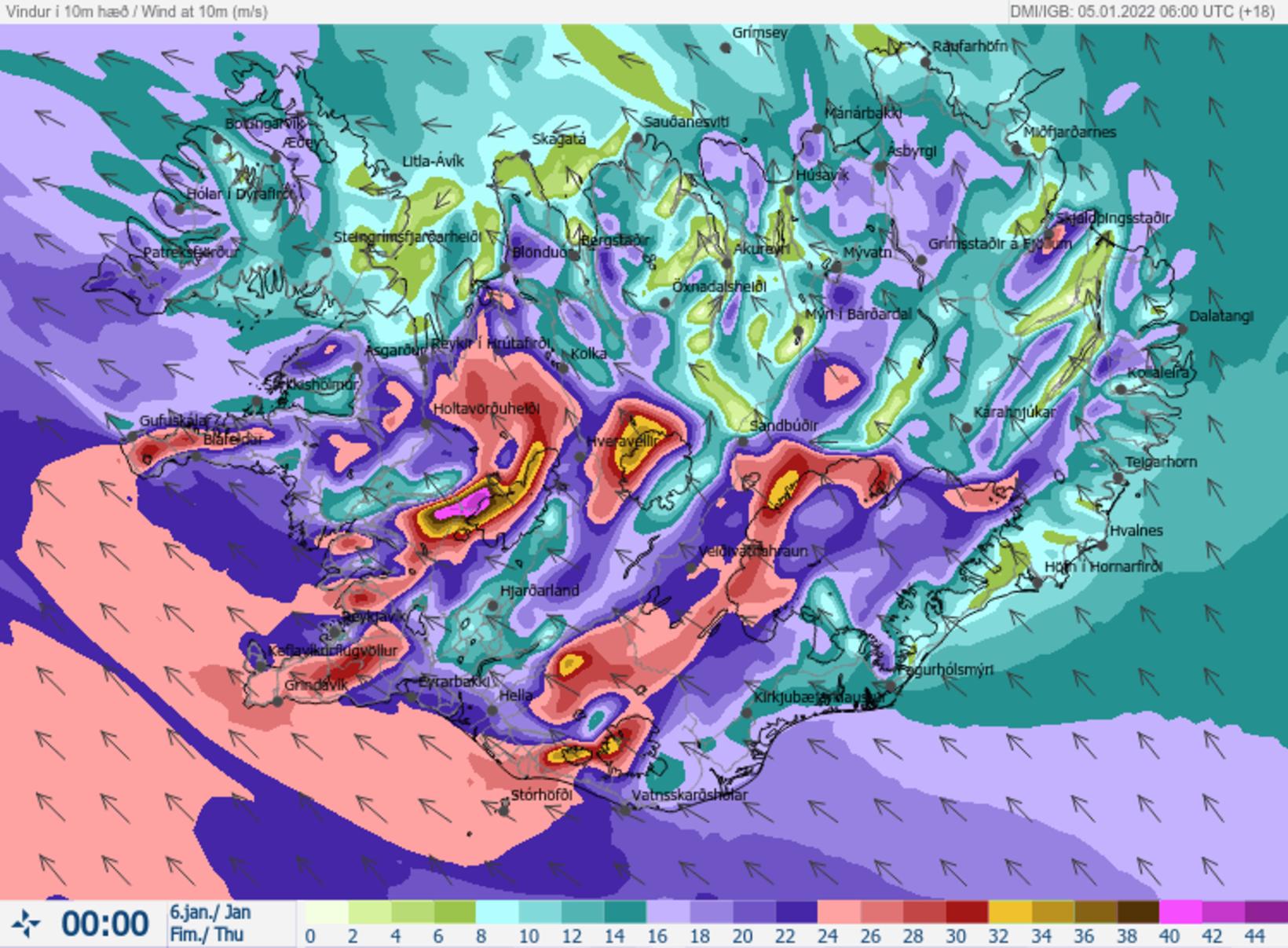
The wind speed forecast for midnight. Map/The Icelandic Met Office
The weather can be hazardous for vehicles sensitive to wind. The weather is likely to cause some transport disturbances and travelers should plan accordingly. People are advised to secure their neighborhood and show caution.
In the Breiðafjörður area, West Iceland, the wind speed will range between 20 and 28 m/sec. Strong wind gust are expected near mountains, especially on the north side of the Snæfellsnes peninsula and in other coastal areas.
In the central highlands, a south-easterly storm or violent storm is expected, with sustained wind speeds of 23-30 m/sec. Traveling can be hazardous and people are advised to plan accordingly, show caution and monitor weather forecasts.
The warnings will take effect in the south at 9 pm, an hour later in Faxaflói and the central highlands, and at midnight in the Breiðafjörður region. They will be in effect into tomorrow morning and until 1 pm in Breiðafjörður.
For the latest updates, visit vedur.is .


/frimg/1/48/27/1482789.jpg)