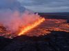
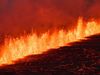
Southwest Iceland Continues to Tremble
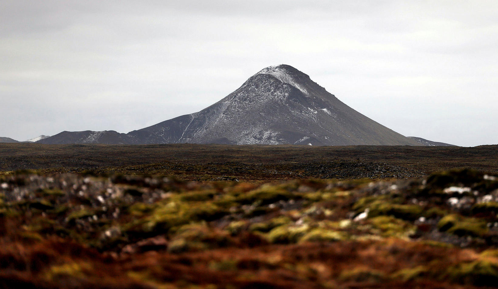
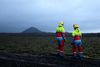
Keilir mountain. mbl.is/Eggert Jóhannesson
Since midnight, about 400 tremors have registered between the mountains Keilir and Litli-Hrútur, northeast of the Fagradalsfjall eruption area in Southwest Iceland, mbl.is reports.
The largest one, of magnitude 3.7, shook the area at 1:52 am. Its source was 0.8 km southwest of Keilir. It was widely felt in the southwest corner of the country and all the way to Borgarfjörður, West Iceland. The rest of the tremors have been very small.
Yesterday, an earthquake of magnitude 3.5 hit the same area at 11:05, followed by another one of magnitude 3 at 3 pm.
According to natural hazards specialist Bjarki Kaldalóns Friis, there are no signs of volcanic tremor. No changes have been detected on webcams either. He states that the seismic activity has been gradually moving closer to Keilir since it began on Monday.
The Scientific Council of the Department of Civil Protection and Emergency Management will meet this afternoon to review the situation in the Fagradalsfjall eruption area and the Keilir area, as well as to review the situation near Askja volcano, north of Vatnajökull glacier.
For ten days, there has been no connection to the GPS station by Askja, which measures inflation of the surface. Inclement weather has prevented repairs, but the hope is that the connection can be restored today or tomorrow. Seismic activity has increased considerably by Askja during the past two months.
Related news: