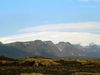
Increased Volcanic Activity by Fagradalsfjall
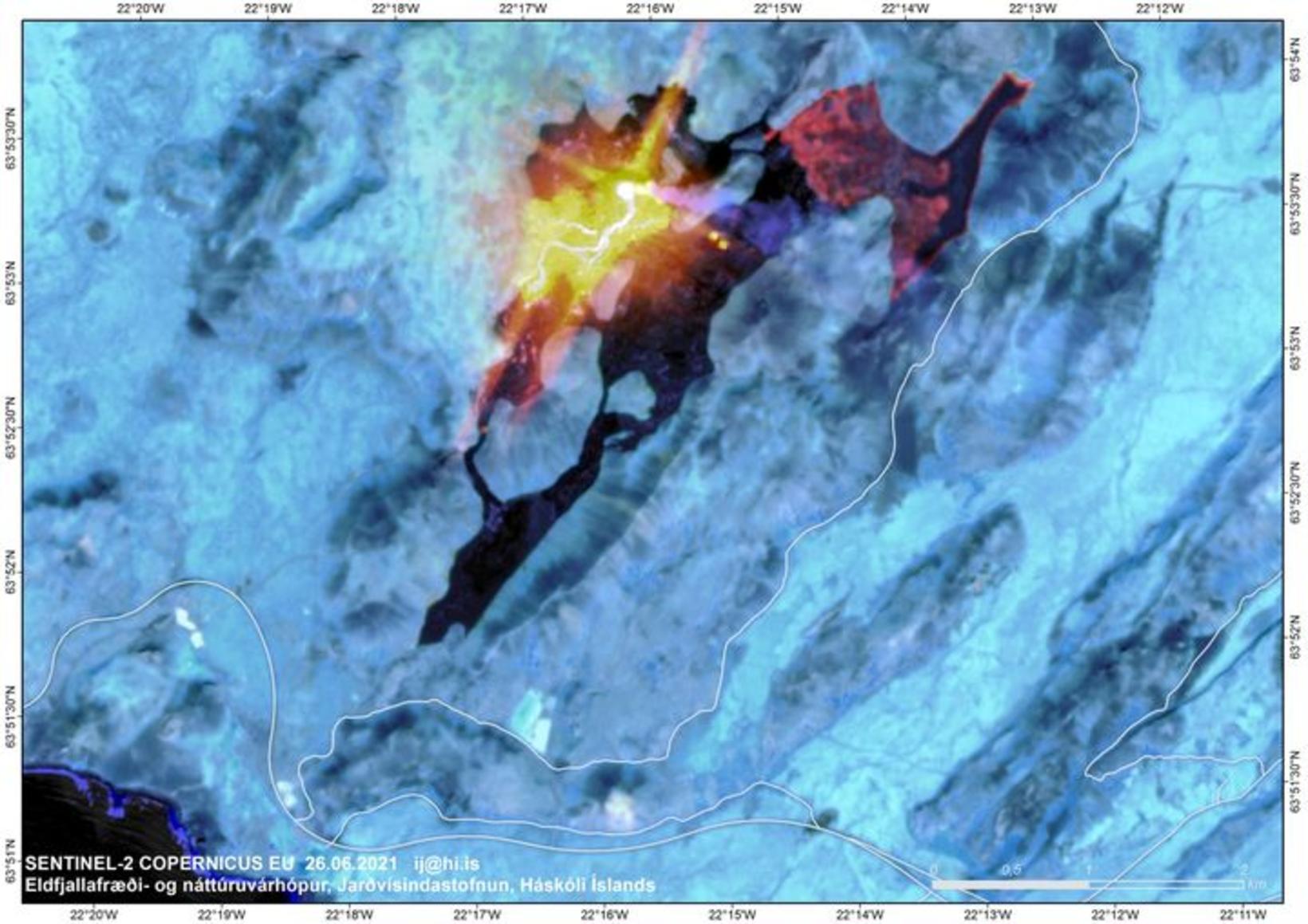
SENTINEL-2 satellite picture
A satellite picture taken Saturday shows much more volcanic activity than before at the eruption site by Fagradalsfjall, Southwest Iceland, mbl.is reports. If this development continues, lava will flow sooner than previously expected from Nátthagakriki valley over Suðurstrandarvegur road - an important road that connects the town of Grindavík and South Iceland.
The picture, taken using near infrared light, shows heat distribution in the lava, where white areas indicate the vent and lava channels, and active lava flow is red and yellow.
“There is much more activity [at the eruption site] than before,” states Þorvaldur Þórðarson, professor of volcanology at the University of Iceland. “Most of the surface flow from the crater flows into Geldingadalur valley.”
The two yellow dots near the center of the picture indicate lava lakes. In Meradalur valley, there is liquid lava underneath the crust, he states, and stresses that the thick lava crust deceives the eye. “The crust is thick, but underneath it all, there is burning lava.”
He states that clearly, some change is taking place in Geldingadalir valleys, which likely will increase stress on a protective wall, located toward the south, which was completed Thursday. The wall is five-meter high and 200-meter long (16x650 ft).
“If more is flowing into Geldingadalir valleys, it is a reason for worry, since it means that the course of events will be faster,” Þorvaldur states. He won’t predict when the lava flow is likely to reach Suðurstrandarvegur road. “There is some change occurring which must be monitored,” he concludes.
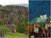
The following pictures were posted on the Facebook page of the Volcanology and Natural Disaster Team of the University of Iceland yesterday:


/frimg/1/57/87/1578747.jpg)