Seismic Activity in Reykjanes Presented in 3D
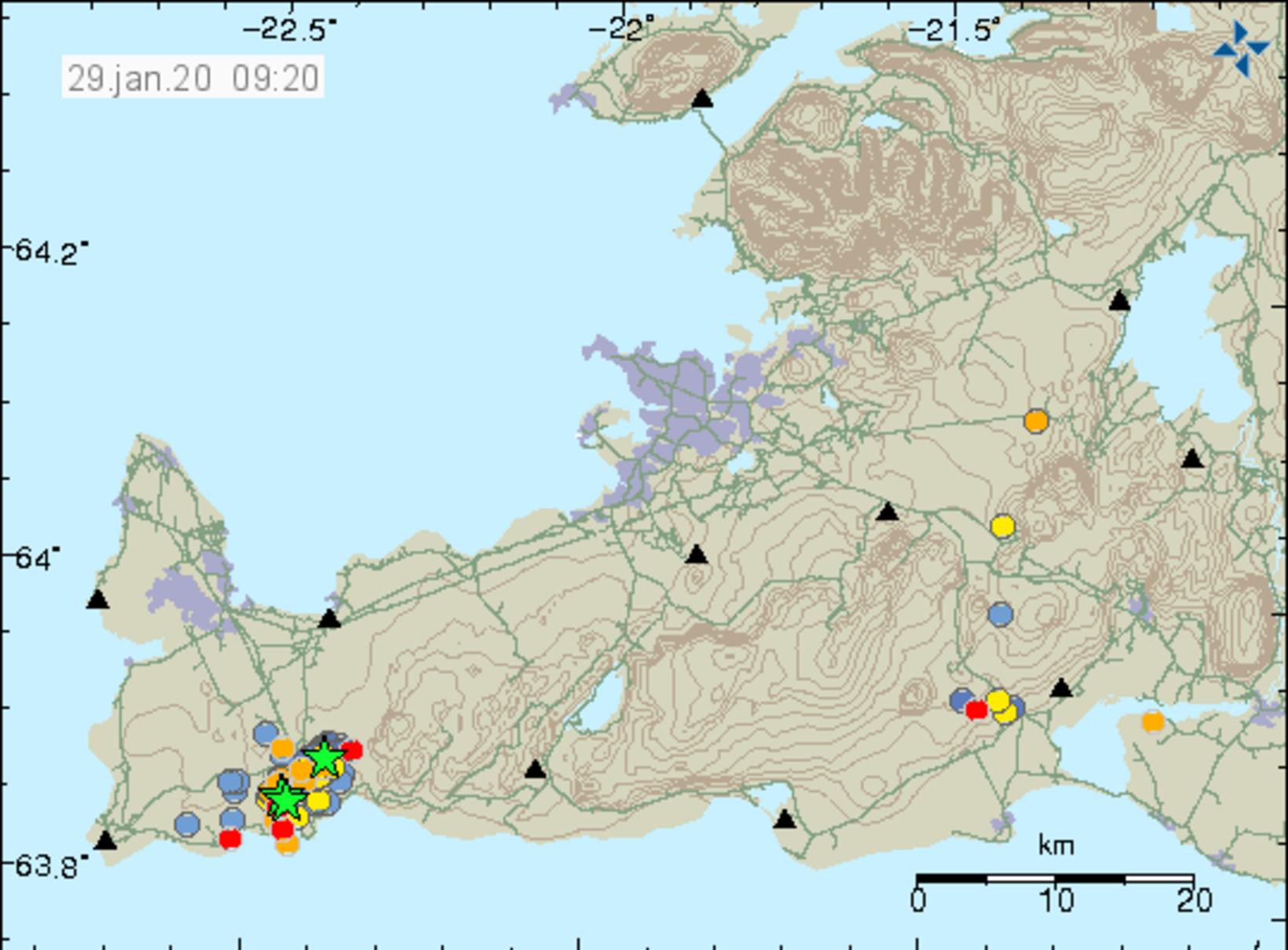
Seismic activity in Reykjanes. Green stars represent quakes in excess of magnitude 3. Map/The Icelandic Met Office
Bæring Gunnar Steinþórsson, computer scientist, has designed an interesting video, where seismic activity in Reykjanes is presented in 3D, mbl.is reports. The video was posted on YouTube yesterday. It includes tremors and earthquakes in the area November 29 through yesterday moring.
The colorful bubbles represent earthquakes – the larger the bubble, the larger the earthquake. The bubbles have different colors, depending on how recent they are.
See for yourself:
This is not the first such presentation designed by Bæring. A map he created in August of 2014, showing seismic activity under Bárðarbunga volcano, has enjoyed widespread popularity and has received close to 50 million views, mbl.is reports.

Bæring Gunnar Steinþórsson, computer scientist.
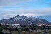
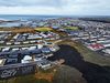
The Reykjanes peninsula continued to tremble overnight. Two earthquakes in excess of magnitude 3 hit the area this morning. At 4:31 am, an earthquake of magnitude 3.5 hit 1.9 km north of Grindavík, and at 5 am, another one, of magnitude 3.2, followed, the source of which was 1.5 km north of Grindavík. Smaller aftershocks followed.
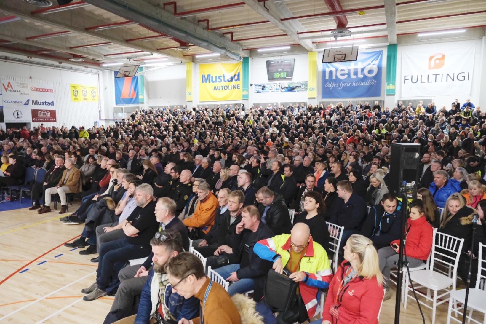
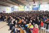
From Monday's town meeting in Grindavík, where contingency plans were reviewed. mbl.is/Kristinn Magnússon
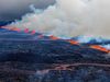
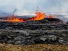
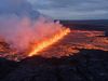
There has been an inflation of about 3 cm and considerable seismic activity in Reykjanes in recent days, leading scientists to suspect that magma is accumulating near Þorbjörn mountain. One of the possible scenarios that has been mentioned is a volcanic eruption in the area. Therefore, contingency plans have been reviewed.
Related news: