Heavy rainfall: Up to half a meter expected in three days
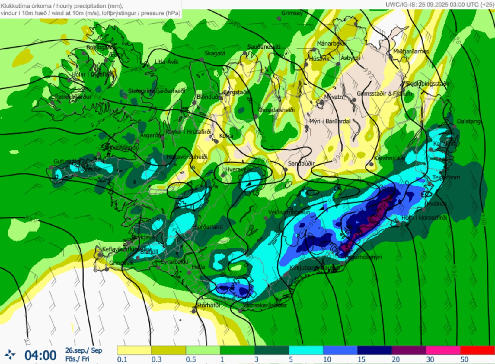
Rainfall forecast by the Icelandic Meteorological Office at 4 a.m. tonight. Map/Icelandic Meteorological Office
The Icelandic Meteorological Office has issued a warning for significant rainfall across the western, southern, and southeastern parts of the country, as well as the southern Eastfjords, over the next few days.
Heavy and persistent rain is forecast today and continuing through the weekend. According to the agency, rainfall will intensify today and remain steady until Saturday. From Thursday onward, the precipitation will spread to almost the entire country.
“The heaviest rainfall is expected in South and Southeast Iceland and the southern Eastfjords, with rates exceeding 25 mm per hour in mountainous and glacial areas, and around 10 mm per hour in lowlands,” the warning states.
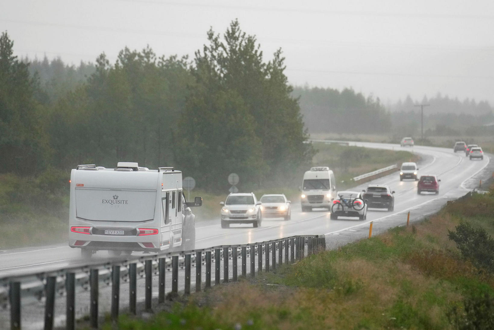
There is rain in the cards for the next few days. mbl.is/Eyþór
Accumulation could reach 500 mm in the mountains
Total accumulated rainfall by Saturday morning could exceed 500 mm in higher elevations and near glaciers, and close to 100 mm in lowland areas — all within just three days.
“Such intense rainfall can cause streams and rivers to swell. Flash flooding near waterways cannot be ruled out,” the agency warns.
“Homeowners are advised to check drainage systems around their properties to prevent water damage.”
The statement also highlights increased risk of landslides, rockfalls, and mudflows, particularly in river channels and along steep slopes where roads are located.
“Travelers should exercise caution near steep slopes, remain aware of their surroundings, and avoid spending extended time below or within gullies,” the advisory adds.
Importantly, the danger of landslides can persist even after the heaviest rain has passed.
Residents and travelers are urged to closely monitor weather forecasts, official warnings, and road conditions via the Icelandic Road and Coastal Administration.
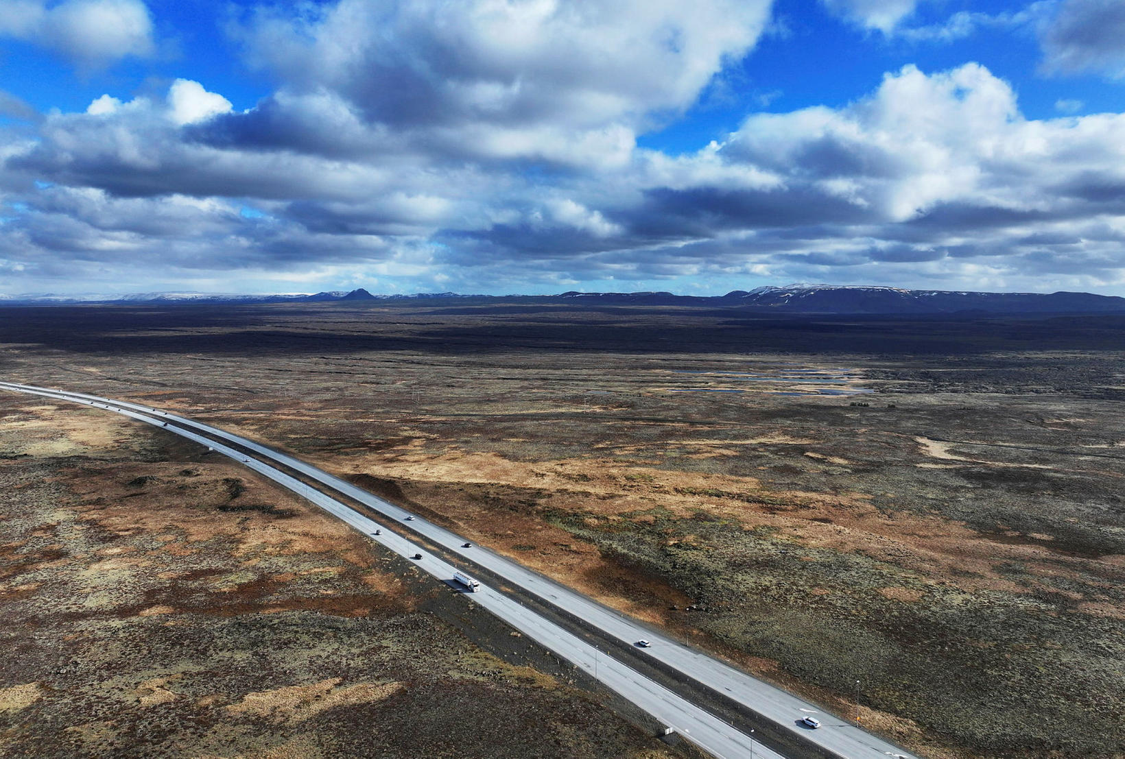
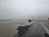
View over Reykjanesbraut. mbl.is/Eggert Jóhannesson
High winds expected on Reykjanesbraut today
Vegagerðin has also issued a warning for strong crosswinds on Reykjanesbraut, with gusts reaching up to 35 m/s (78 mph) between 10:00 and 14:00 today, Thursday, as the first autumn low-pressure system sweeps rapidly across the area.
High winds are also expected during this time in Hvalfjörður and near Hafnarfjall, while windy and unseasonably warm weather will affect much of the country overnight and into Thursday morning.