Google Maps error says Reykjanesbraut is closed
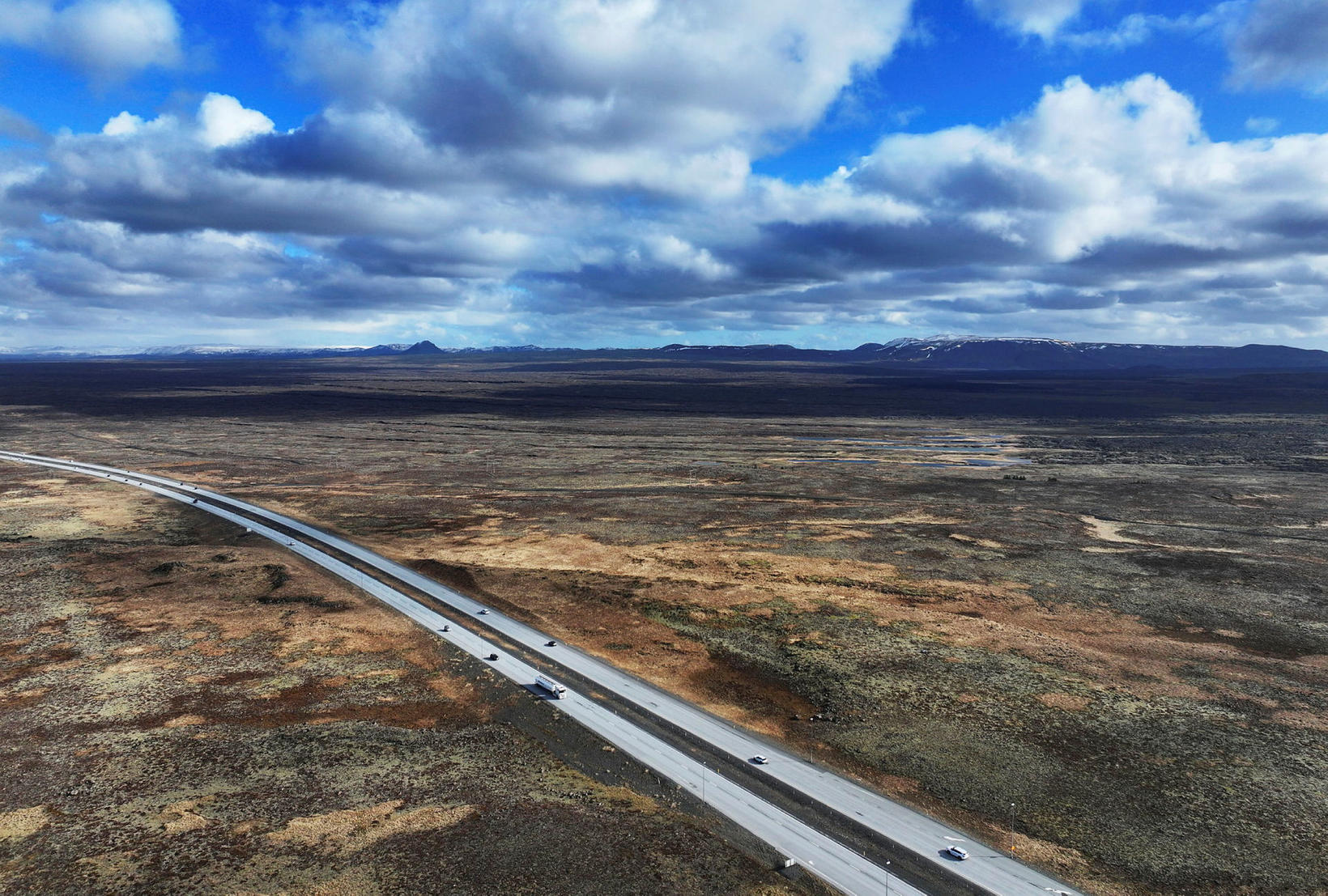
Reykjanesbraut is open, contrary to the information on Google Maps. mbl.is/Eggert Jóhannesson
An error in Google Maps, or unclear road signage from the Icelandic Road and Coastal Administration (Vegagerðin), has caused confusion among drivers using Google navigation, with the app showing that Reykjanesbraut is closed near Straumsvík.
On Vegagerðin’s website it is stated that the issue lies with Google: the road is open, but speed limits have been reduced due to construction work in the area.
Travelers heading to Keflavík Airport this morning, as well as those arriving early in the day and bound for Reykjavík, were in many cases redirected through Krýsuvík. As one local put it: “There was quite a lot of Dacia Duster traffic through Krýsuvík.”
Sigríður Inga Sigurðardóttir, information officer at Vegagerðin, said the agency is aware of the error and is trying to determine its cause. The administration has already sent the correct road information to Google.
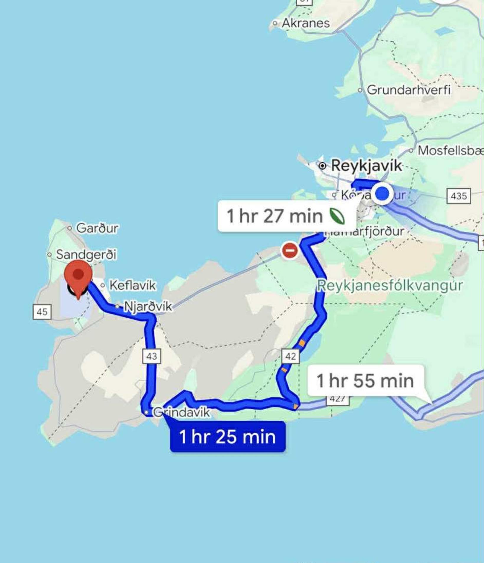
When checking Google Maps, the road still appears to be closed, and drivers are advised to take the route through Krýsuvík instead. Screenshot/Google Maps


/frimg/1/59/21/1592187.jpg)
/frimg/1/59/17/1591780.jpg)