Strongest quake in the area in seven years
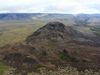
Mt Helgafell in Hafnarfjörður. mbl.is/Sigurður Bogi Sævarsson
An earthquake was felt at 18:10 yesterday in the capital area. Its epicenter was located about 4 km south-southeast of Helgafell in Hafnarfjörður.
According to measurements from the Icelandic Met Office, the quake measured 3.8 in magnitude, making it the strongest in the area in seven years.
“The quake was likely about 4 km south-southeast of Helgafell, in the direction of the Brennisteinsfjöll mountains,” said Bjarki Kaldalóns Friis, natural hazards specialist at the Met Office.
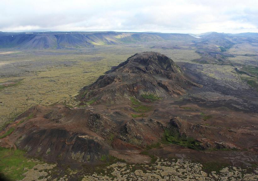
Mt Helgafell. mbl.is/Sigurður Bogi Sævarsson
Several small quakes during the night and morning
The quake occurred in a well-known fracture zone, explained Steinunn Helgadóttir, another hazards specialist at the Met Office.
The 3.8 magnitude quake follows earlier events last year, when tremors of 3.6 and 3.7 were recorded in the same area. The last quake of this strength occurred there in September 2018.
“There was some aftershock activity shortly afterward and until midnight, but most of those quakes measured under magnitude 1,” Steinunn said, when asked about yesterday’s event.
She added that several small quakes have also been recorded during the night and into the morning.


/frimg/1/58/37/1583777.jpg)