Bad weather forecast for the north
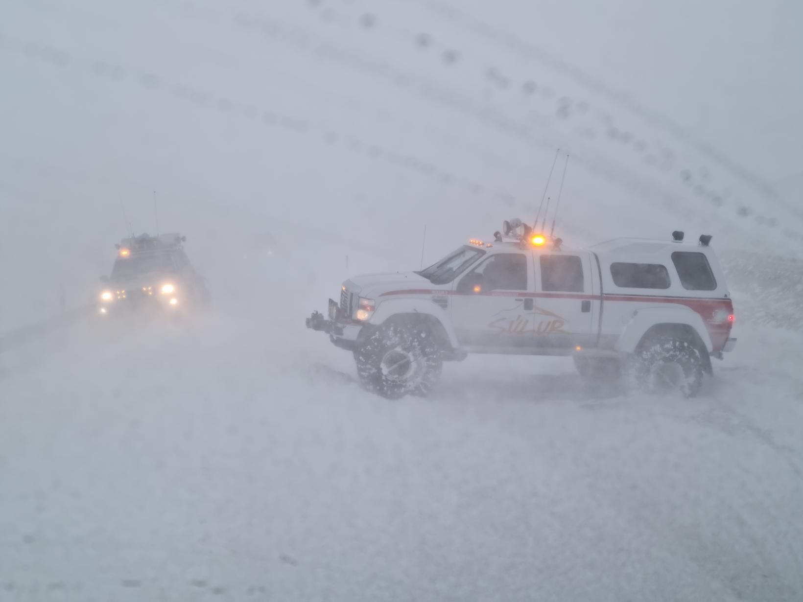
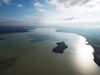
From Öxnadalsheiði in the north. Photo from mbl.is photo archives. Photo/Landsbjörg
A strong northwesterly wind with snow or sleet is forecast in the northern part of the country today. Driving can be bad on mountain roads to the north and visibility can be very low, according to a meteorologist at the Icelandic Meteorological Office.
Tomorrow morning, a south-easterly storm with considerable rain and warming for the time being. The storm moves quickly to the northeast and the weather lasts for several hours in each part of the country.
In the afternoon it turns in a slower southwesterly direction with showers, first in the west and will be separated over the country by evening and shortens it up to the northeast. At the same time, it gets colder and precipitation from the south and west could turn into sleet in the lowlands.
8-18 meters per second
Otherwise, the weather forecast is that it will blow in the north and northwest 8 to 18 meters per second today, it will be windy at the northeast coast. There will be snow or sleet in the northern part of the country, showers or sleet in the southwest, but clear skies in the southeast. Reduces the wind and shortens the evening and cools the weather.
Growing south-easterly winds will be late tonight, first west, 18-25 m/s and considerable rain tomorrow morning, it will be windy in the mountains. Much slower wind otherwise and dry. Warming weather for now. Turns to the southwest 10-18 m/s with showers and later even sleet in the afternoon, first to the west and starts to cool. Relief to the northeast and east towards evening.