Earthquakes are increasing: Two scenarios most likely
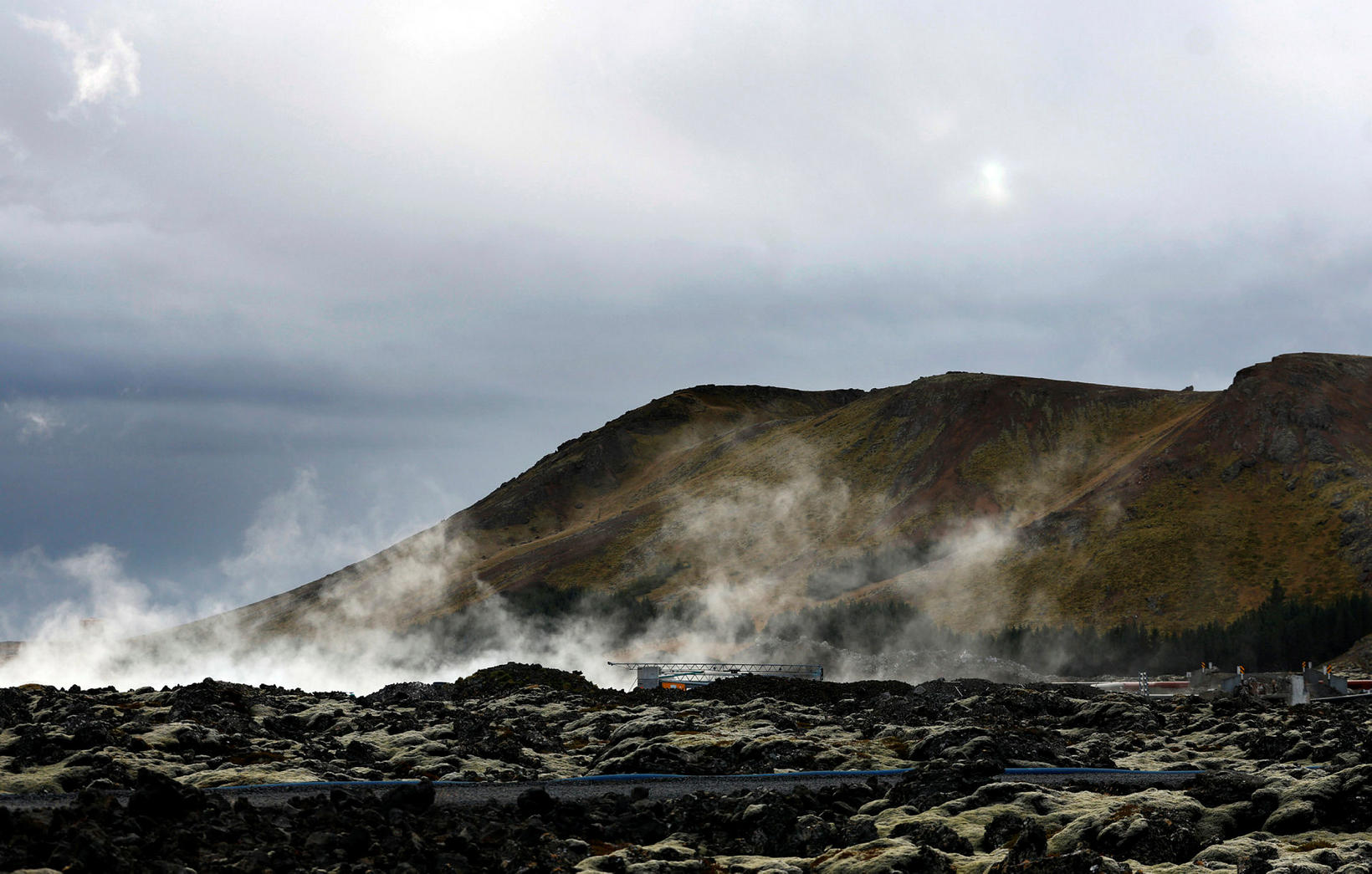
It seems very likely that a new eruption would be in a similar location as previous ones. mbl.is/Eggert Jóhannesson
The number of daily earthquakes at the Sundhnúkagígar crater row continues to rise. According to the Icelandic Met Office's model calculations, enough pressure has developed in the volcanic system to potentially trigger a magma flow or eruption in the coming days.
Approximately sixty earthquakes were recorded in the area over 24 hours in the beginning of the week, compared to an average of thirty earthquakes per day just over a week ago.
The Icelandic Met Office reports this in an announcement, noting that the inflation continues to subside slightly. This development and increased seismic activity indicate rising pressure in the system.
"Now it's a question of how much pressure the Earth's crust can withstand before it gives way and a new magma run starts," the announcement states.
The organization's risk assessment remains unchanged from what it was, as shown on the attached map.
The risk assessment map of the Icelandic Met Office for August 6-13, unless something changes. Kort/Veðurstofa Íslands
Disclaimer: Eruption could start at a short notice
The following two scenarios are considered the most likely:
Scenario 1:
- An eruption with a source between Mt Stóra-Skógfell and Mt Sundhnúkur (middle part of zone 3 on the hazard assessment map). This location is similar to the eruptions that began on December 18, 2023, February 8, March 16, and May 29, 2024.
- The likely precursor is a series of local small earthquakes between Mt Stóra-Skógfell and Mt Sýlingarfell, with acceleration in deformation and pressure changes in boreholes in the area.
- Very short notice (less than 30 minutes) before any action. Lava could reach Grindavíkurvegur Road at Mt Þorbjörn in less than 1.5 hours and Grindavíkurvegur Road at Svartsengi outside the defense walls in less than 3 hours.
Scenario 2:
- An eruption with a source south of Mt Sundhnúkur, at Mt Hagafell or south of Hagafell (southern part of zone 3 on the hazard assessment map and upper part of zone 4). This location is similar to the eruption that began on January 14, 2024.
- The probable precursor is a series of small earthquakes that start near Mt Stóra-Skógfell or Mt Sýlingarfell and move south, with acceleration in deformation and pressure changes in boreholes in the area.
- The eruption warning in this area would likely be longer than in scenario 1, but the duration is uncertain. The longer notice depends on how far south the magma travels before reaching the surface.
- Lava could reach Nesvegur Road and Suðurstrandavegur Road in less than 1.5 hours. A lava flow could potentially block escape routes on land out of Grindavík in about 6 hours.
- In this scenario, lava could reach the sea east of Grindavík in 1.5 to 3 hours. If lava reaches the sea, it could cause a local hazard due to the rapid cooling of the lava. Initially, there would be danger from pyroclastic material and gas formation, primarily hydrochloric acid (HCl). Conditions within a 500-meter radius from the point where lava meets the sea would be life-threatening.
- A magma channel extending south of Mt Hagafell will probably cause significant fissure movements in Grindavík.
- In this scenario, the possibility of lava emerging within Grindavík must be considered. One possibility is that lava emerging from a vent north of the defense walls at Grindavík could overflow into cracks and then re-emerge through open cracks within the town limits.


/frimg/1/38/77/1387784.jpg)


