Extreme rainfall and a heat wave in the cards

Warm air is coming our way. Photo/Blika.is
A wave of warm air is entering Iceland from the southwest on Thursday, coming from North America, as meteorologist Einar Sveinbjörnsson reports on Blika.is , citing a map from the Icelandic Met Office.
“A strong wind from the southwest will probably hit us. A cold atmospheric depression in the north will help drive up the wind. But we’ll nevertheless be hit by warmer air,” he writes, noting that it’s expected to rain up to 50 mm in Borgarfjörður on Thursday and possibly Friday as well.
“The forecast for the so-called ‘tail-in-the-wind’ (SOT) is quite accurate. It takes into account the extreme rainfall that will occur during the high summer in these areas,” he explains.
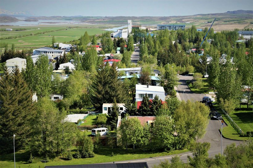
Egilsstaðir. Temperatures could go into the 20s in the East this weekend. mbl.is/Sigurður Bogi Sævarsson
He says the warm wave will rise further and then slow down significantly east of Iceland.
“The temperature in Iceland will easily exceed 20 degrees this coming weekend, and even from Friday. And this time, it will not necessarily be so different from one part of the country to another. However, on Monday evening, the best places in the east of Iceland are forecast to be 25 degrees and sunny from Thursday until Saturday.”
He talks about the “Icelandic heat wave threshold” in this context.