News
| Iceland Monitor
| Wed 20 Dec 2023
| 13.57 GMT
| Modified
at
14.12
Images showing the proximity to Grindavík
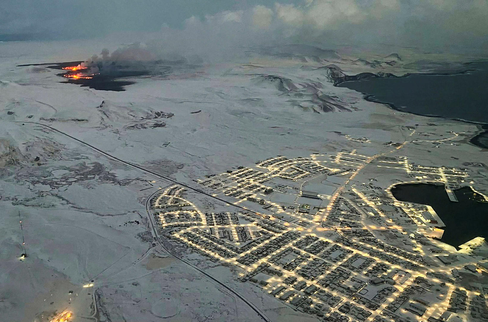
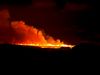
The town ofGrindavík was evacuated on November 10. The police of Suðurnes has decided to ban all traffic to the town at least until after the Christmas holiday. AFP/Viken Kantarci
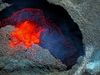
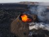
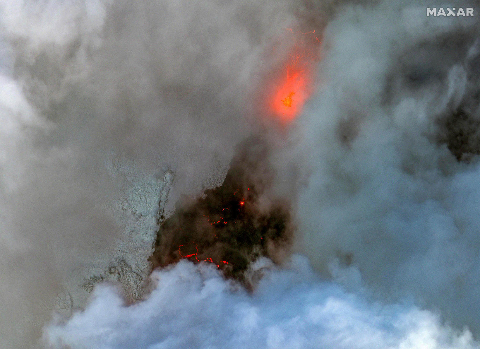
Max-SAR satellite images taken yesterday show snow-covered ground around Grindavík and the eruption fissure.
An AFP photo taken by Viken Kantarci also shows the proximity of the eruption to the town yesterday. The southern end of the fissure was nearly three kilometres away.
Below are photos of Max-Mar Technologies.
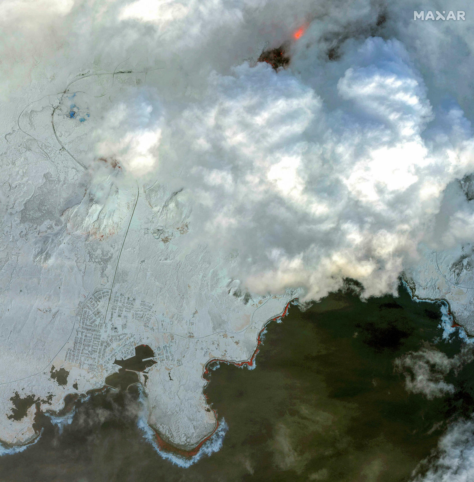
Grindavík seen from above. AFP/Maxar Technologies
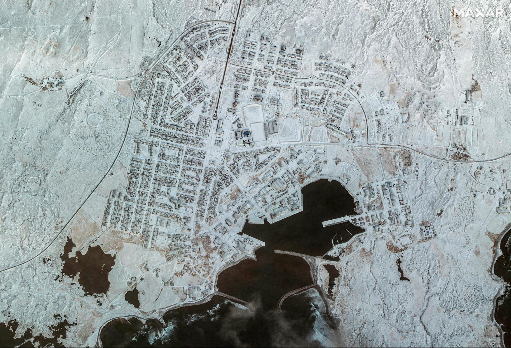
A satellite image of Grindavík. AFP/Maxar Technologies
AFP/Maxar Technologies