New map: The danger zone has expanded
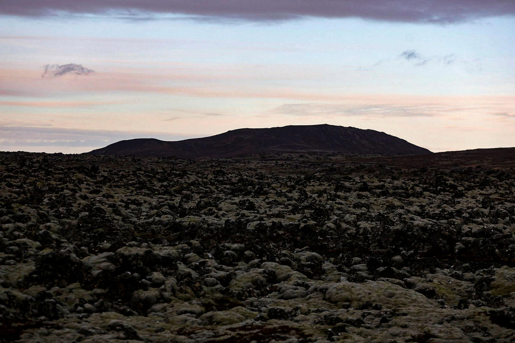
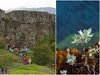
Seen over the lavafield by Grindavík and towards Hagafell where the eruption seems most likely to happen. mbl.is/Eggert Johannesson
The Icelandic Met Office has updated the hazard assessment map for the area around Grindavík and Svartsengi. The new map expands the hazard area from the previous map.
The map is based on new satellite images of Svartsengi and the magma tunnel, as well as data that was discussed this yesterday morning with the Civil Protection, experts from the Icelandic Met Office and the University of Iceland.
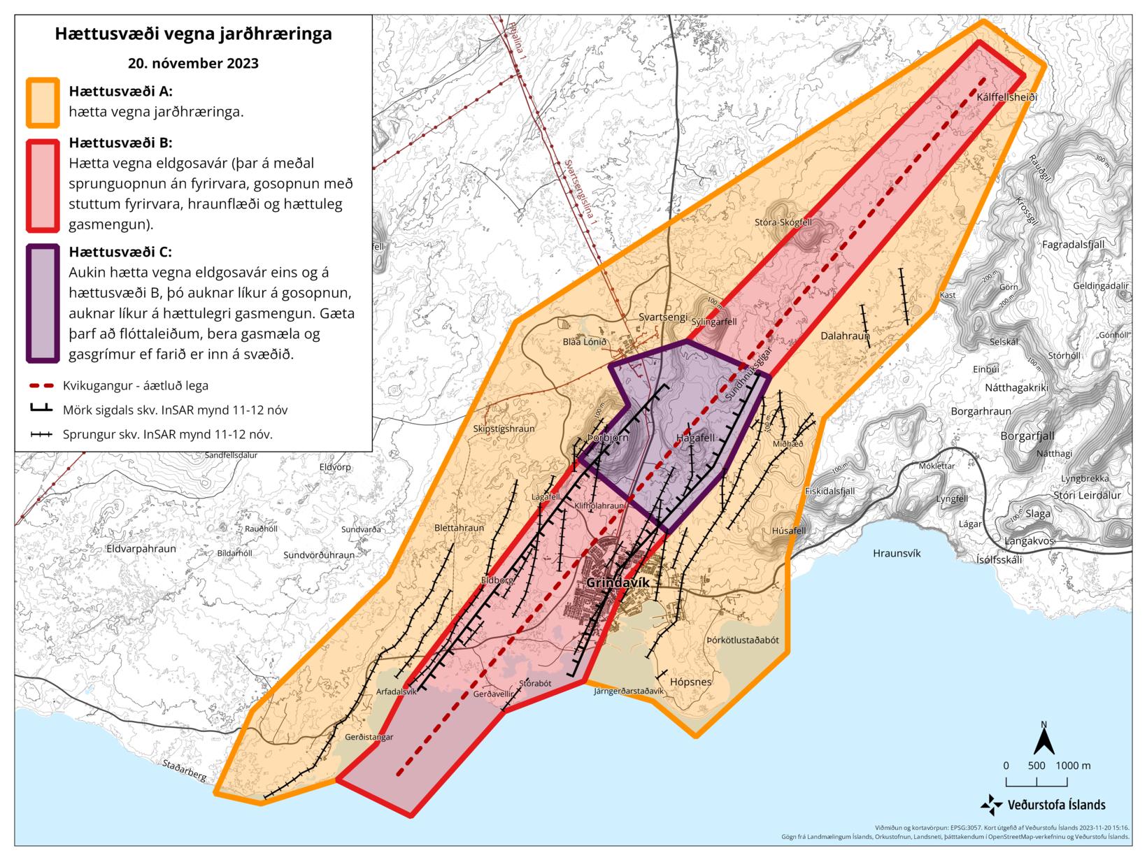
Three danger zones are on the map. Map/The Icelandic Met Office
Three danger zones
There are three danger areas as can be seen on the above map.
Orange: Danger zone A: Danger due to seismic activity.
Red: Danger zone B: Danger due to possible eruption (incl. earth cracking open suddenly, eruption with little forewarning, lava flowing and dangerous gas pollution).
Purple: Danger zone C: Increased danger of eruption like in zone B, and even more danger of earth opening suddenly and dangerous gas pollution. In this zone escape routes need to be clear, gas monitors are needed and gasmasks if you go into the area.
The announcement states that the map is being used by the Civil Protection and the Police Commissioner of Suðurnes in planning for the area.
Older maps can be seen here:
/frimg/1/45/29/1452965.jpg)


/frimg/1/57/87/1578747.jpg)