
Deformation still active and eruption likely
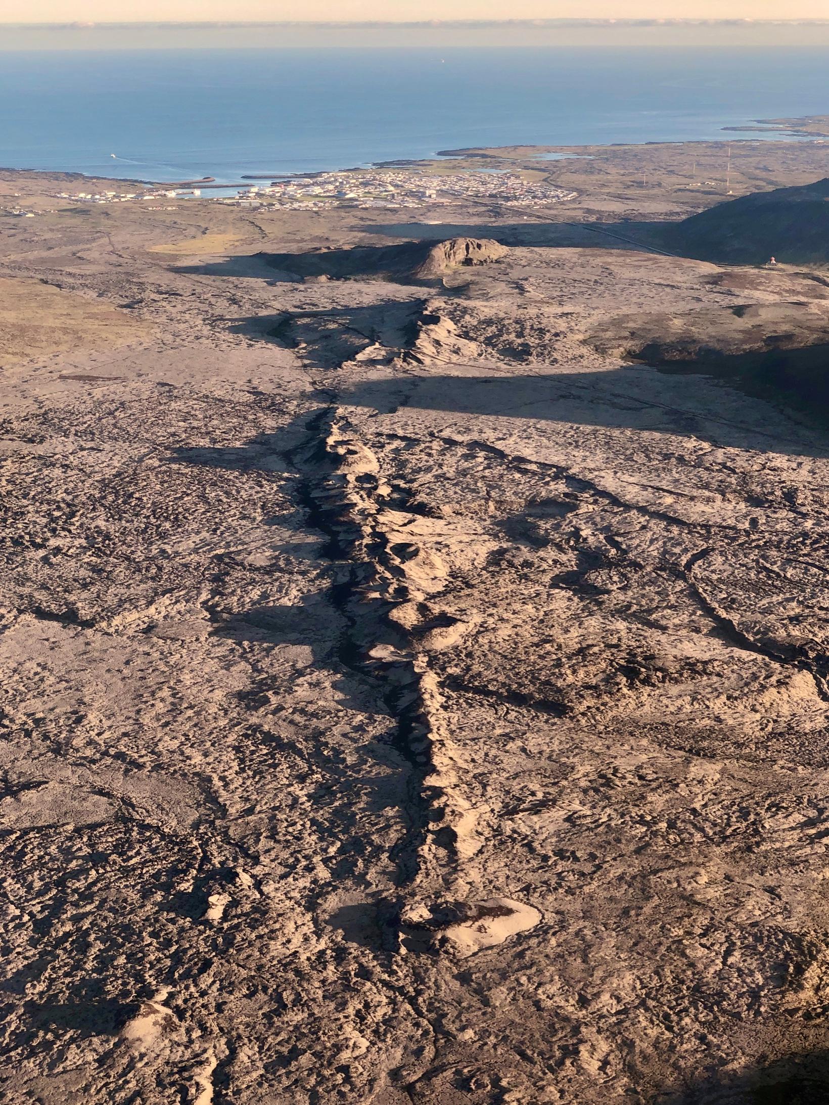
Sundhnúkar crater row lies southwest to Grindavík. Ljósmynd/Siggi Anton
The majority of earthquakes occurred at the magma tunnel, which lies under the Sundhnúka crater row and southwest through Grindavík. Since midnight, 700 earthquakes have been recorded over the magma channel, the largest of which was 3.1 at Hagafell.
Deformation measurements show continued deformation in the area. They are in accordance with the magma flowing into the tunnel.
This is stated in a notice from the Met Office.
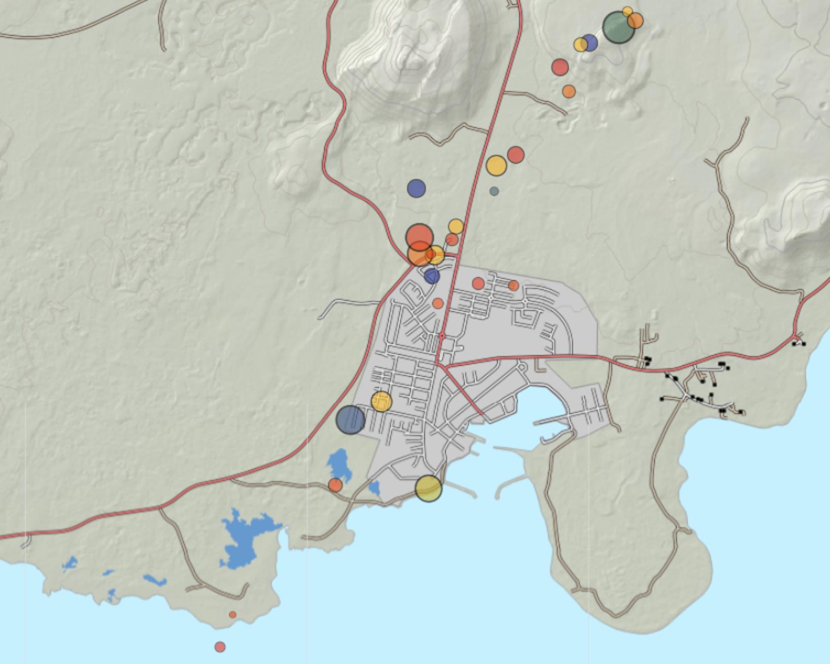
The seismic activity from midnight until noon today. The earthquakes are occurring in line of the magma tunnel. Map/Icelandic Met Office
75 cubic metres per second
It states that the flow on Sunday and Monday was estimated to be 75 cubic metres per second. The depth down to the magma channel is estimated to be about 800 metres. It is noted that these figures are based on probability calculations and are subject to uncertainty.
The main emphasis is on monitoring of seismic activity and deformation in the area of the tunnel and Grindavík.
“New GPS stations have been installed in Grindavík and the surrounding area. They show that the existing deformation is still active,” the announcement states.
“The likelihood of a volcanic eruption is therefore still high. If an eruption occurs, the most likely location is at the magma channel. Data does not show any indications of a different situation.”


/frimg/1/57/93/1579337.jpg)

/frimg/1/57/94/1579405.jpg)