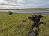
Magma 500 m from the surface
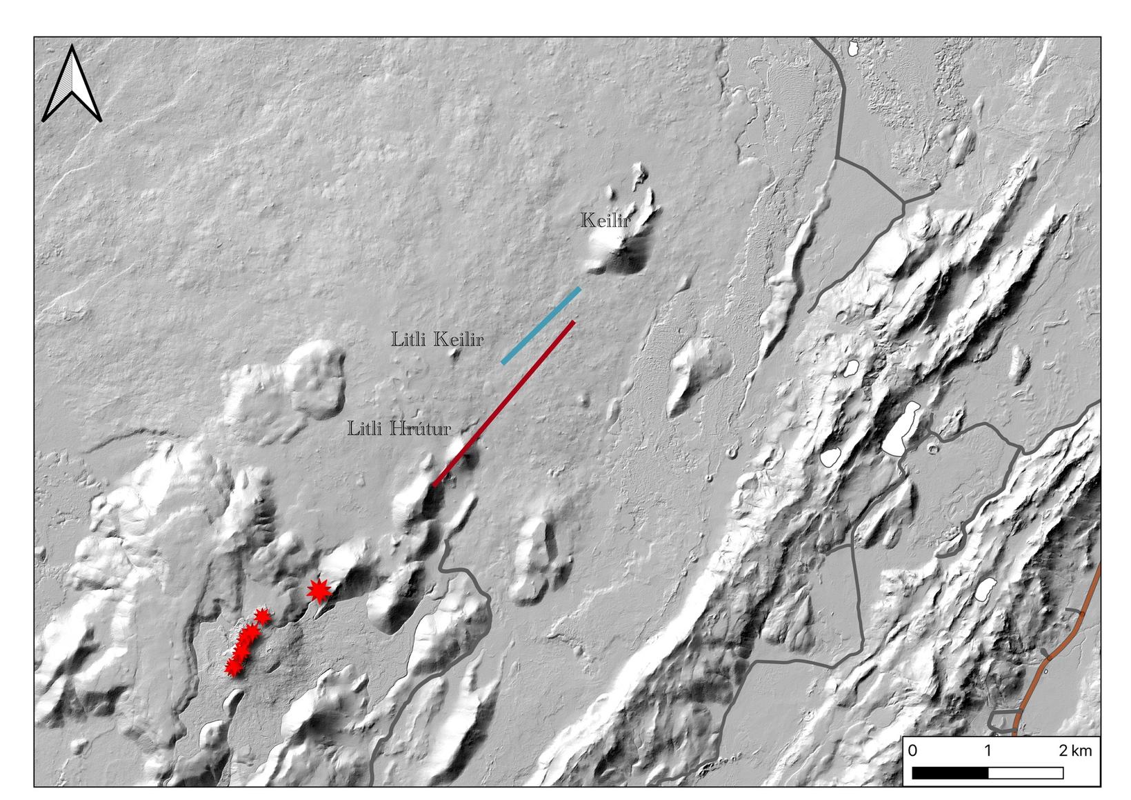
The red dots show the area where the surface has been changing above the magma tunnel. Photo/The Icelandic Met Office
Model calculations based on ICEYE SAR data show that the magma lies even shallower than before, or about 500 meters below the surface.
This is what the Icelandic Met Office’s website announces.
Volcanic eruptions in the next few hours or days
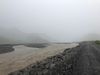
“The calculations show that on July 8, the tunnel was not breaking way to the northeast or southwest but, as previously seen, is approximately 3 km long and lies in the area between Litli Hrútur and Litli Keilir. The calculations indicate that there is still a stream of magma flowing down the tunnel below, ” the report stated.
The Meteorological Office repeats that based on the latest observations and results, the magma will move closer to the surface, resulting in a volcanic eruption that will begin in the next few hours or days.
The quakes have struck the Reykjanes peninsula for six days, and the last eruption in Meradalir Valleys occurred just five days after the series of quakes struck the region.
“The area still slows down as measured by GPS. The latest data, based on satellite images from ICEYE SAR on July 7 – 8 show even better the change in the surface above the magma, especially in the route from the northeast to the southeast just southwest of Keilir.”
A strong quake of 5.2 in magnitude struck last night in the southwest corner of Iceland and was felt in various places in the country. It was measured 1.6 kilometers east of Keilir.


/frimg/1/58/37/1583777.jpg)