Stronger quakes in Mýrdalsjökull than thought from the first estimation
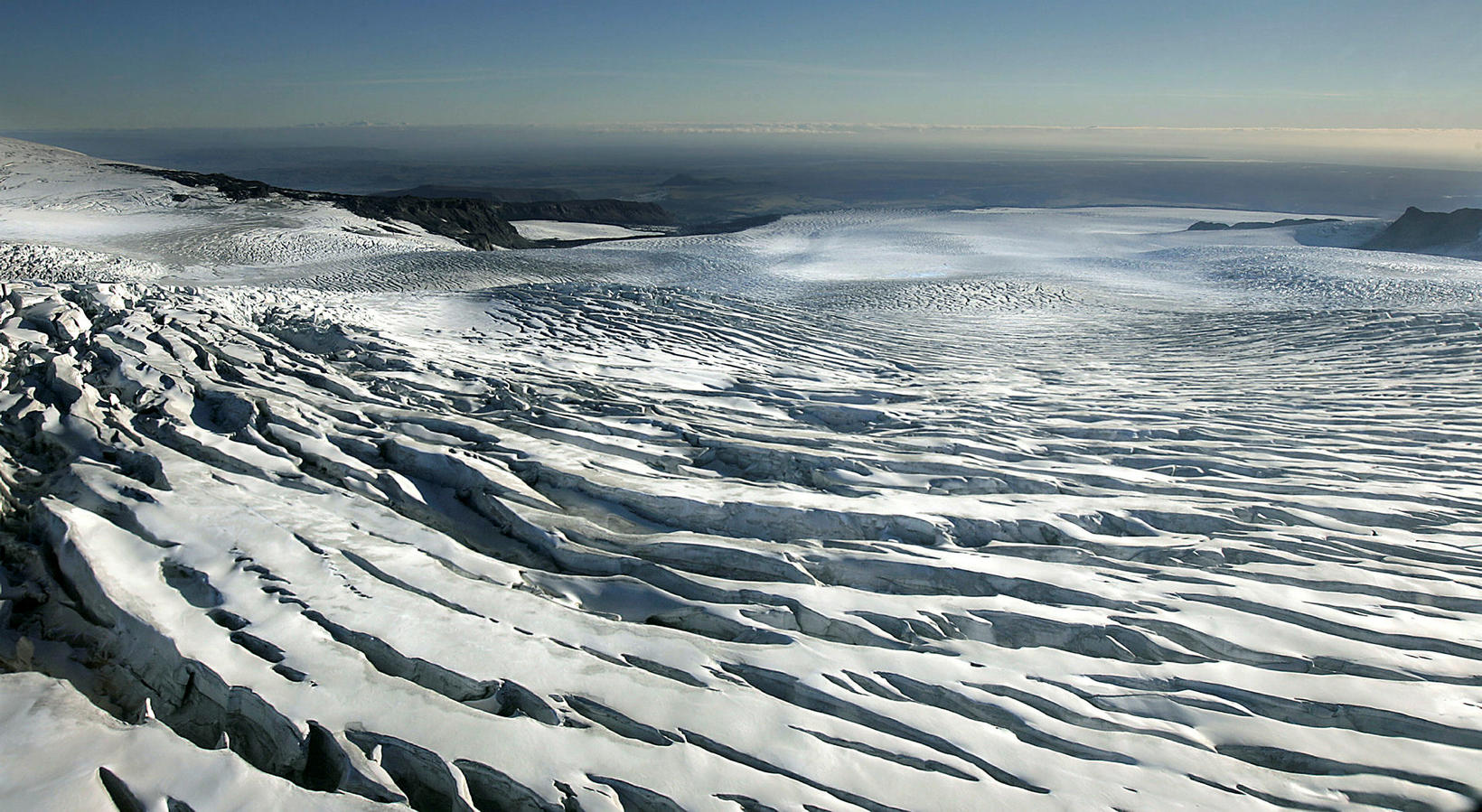
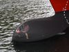
In the eastern part of Mýrdalsjökull glacier is the volcano Katla, which is partially covered by the glacier. mbl.is/RAX
The quakes that hit Mýrdalsjökull glacier in the early hours of this morning turned out to be bigger than the preliminary results indicated. After further inspection, the Met Office now believes that the three largest quakes were 4.8, 4.7 and 4.5 magnitude, which had previously been estimated to be 4.5, 4.3 and 4.2 magnitude.
The quakes were felt in Þórsmörk and in a settlement south of Mýrdalsjökull, among other places.
A flight alert color code for Katla was then transferred to yellow, which is when a volcanic eruption site shows signs beyond what is called background activity.
“At the moment we see no signs of running off nor any signs of volcanic activity,” Salóme Jórunn Bernharðsdóttir, a natural hazards specialist at the Icelandic Met Office, told mbl.is earlier today.
In this post from the Met Office on Facebook the red dots shows the area of unrest.
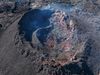
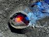
Katla volcano
Beneath the eastern part of Mýrdalsjökull glacier is one of the biggest volcanoes in Iceland, Katla. Its location is north of Vík in Mýrdalur and east of Eyjafjallajökull glacier and the volcano is partly covered by the Mýrdalsjökull glacier. Katla usually erupts every 40-80 years. Since 1999 Katla volcano has shown some signs of unrest. In 2011 harmonic tremors were detected and again in 2016 and 2017. The last major eruption started on 12 October 1918 and lasted for 24 days.


/frimg/1/49/16/1491626.jpg)