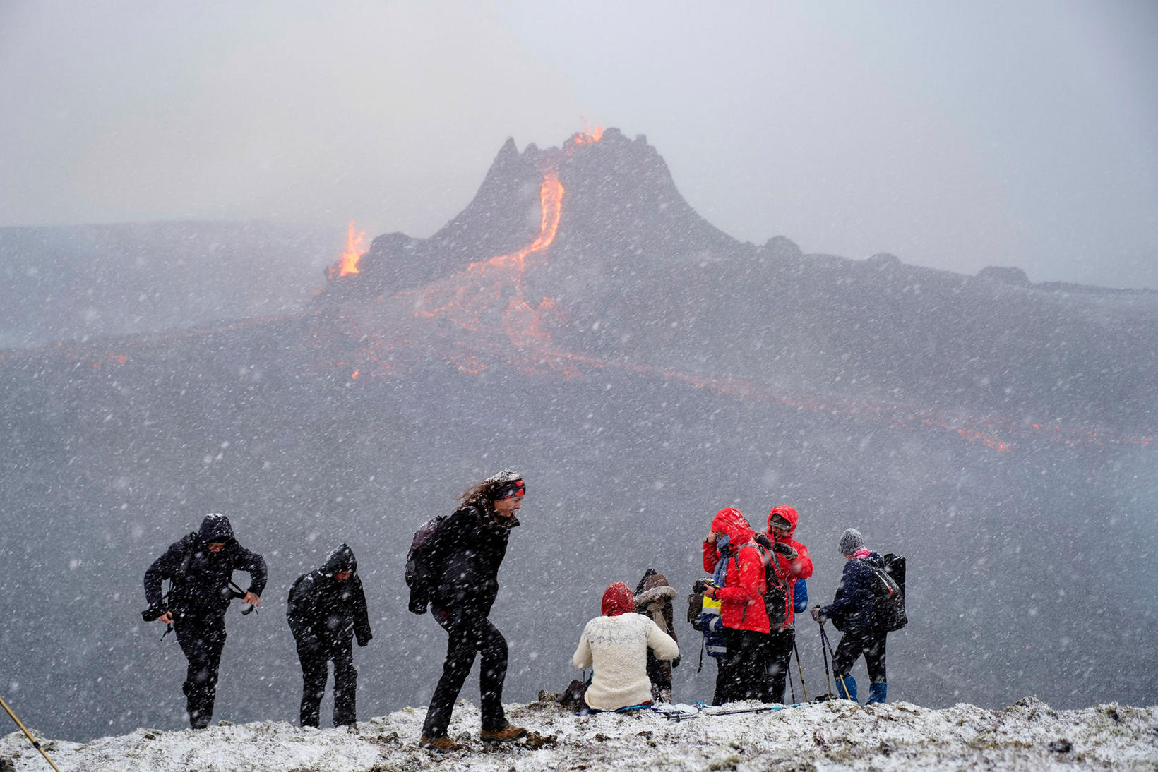
Virtual Hike to Eruption Site
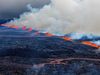
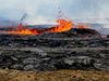
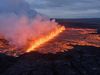
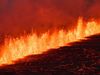
At the eruption site. mbl.is/Kristinn Magnússon
The company Sýndarferð has photographed the hiking path to the eruption site in Geldingadalur valley, Fagradalsfjall mountain, Southwest Iceland, and posted it on Google Maps, mbl.is reports.
You can view the hiking path here, change the viewpoint and ‘travel’ in either direction.
“This is our contribution toward increasing the safety of those who want to visit the eruption site,” an announcement from the company states.
The virtual hike consists of more than 500 360° connected photographs, taken at 5-m (16-ft) intervals.
The pictures show hiking path A, the first one to be marked with stakes by rescue teams. The second path, B, has since been marked with stakes and Sýndarferð plans to post pictures of that path on Google Maps this weekend.