Stunning aerial photographs of Iceland
All photos/ Julien Ratel by kind permission.
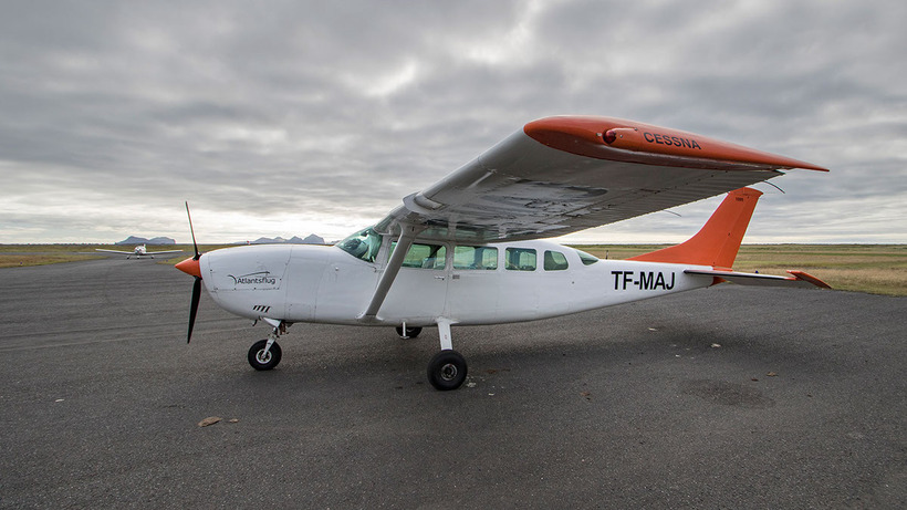
Paradiseland, Niceland, Beautyland are some of the names that photographer Julien Ratel associates with Iceland. Flying in a Cessna this summer he shot these stunning aerial photographs of the enchanting island in the north.
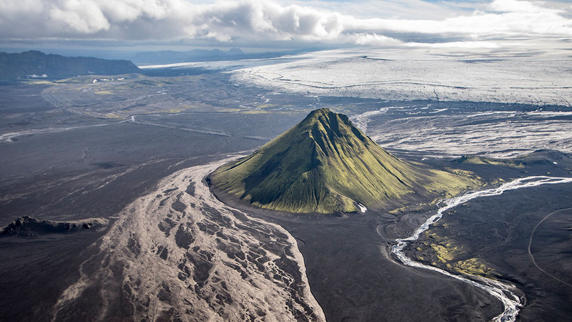
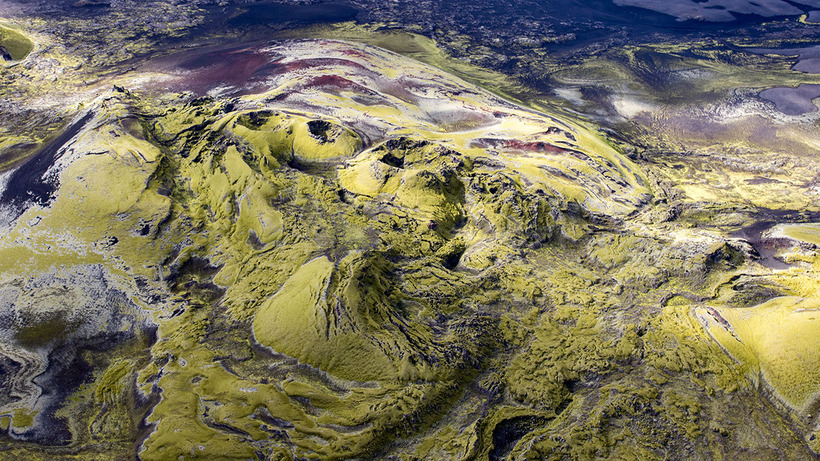
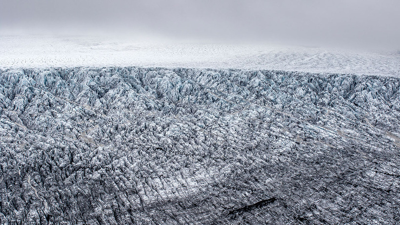
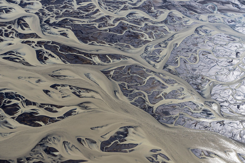
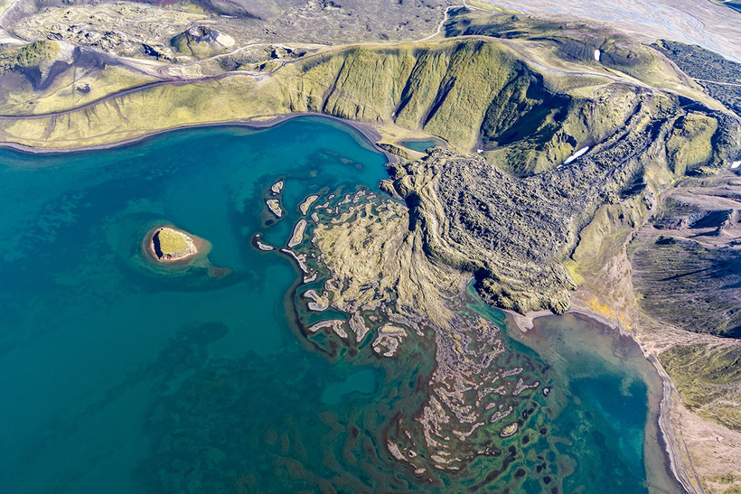
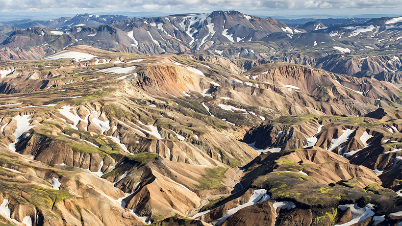
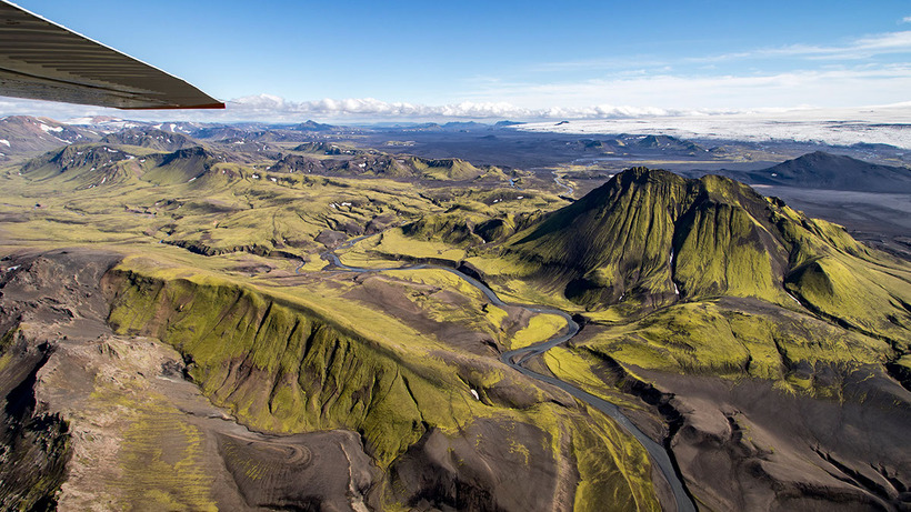
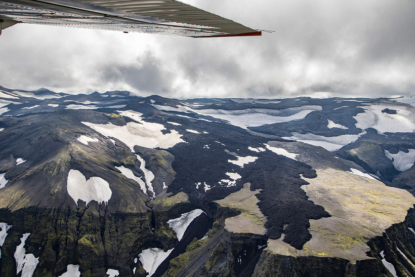
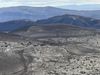
Mountains, estuaries, volcanoes, glaciers, lavafields and endless sands appear like abstract art when observed from above. Ratel, who has been exploring Iceland for 6 years says he had long dreamt of taking aerial photographs of the country. "I've explored Iceland from the ground, hiking, driving, sailing and from below in the lava caves, but this summer I experienced the flight I had been dreaming about since I settled."
Flying a Cessna, which with its two openable windows on each side of the aircraft, was the perfect plane for such photography.
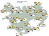
"The plan was to cover a huge part of the south around the glaciers and over the Fjallabak area," explains Ratel who covered the following sites: Seljalandsfoss, Eyjafjallajökull, Þórsmörk, Álftavatn, Hraftinnusker, Landmannalaugar, Ljötipöllur, Fjallabak, Tungnaá, Langisjór, Lakagígar, Strútur, Mælifellssandur, Mýrdalsjökull, Vík, Reynisdrangar, Dýrhólaey, Skógar."
Finally, Ratel recommends flying with Atlantsflug, the company he flew with and has included a map of his interary HERE where you can spot the locations of each of the accompanying images.
See Julien Ratels images of Iceland on Behance HERE.


/frimg/1/53/30/1533092.jpg)