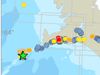
Iceland hit by a series of depressions
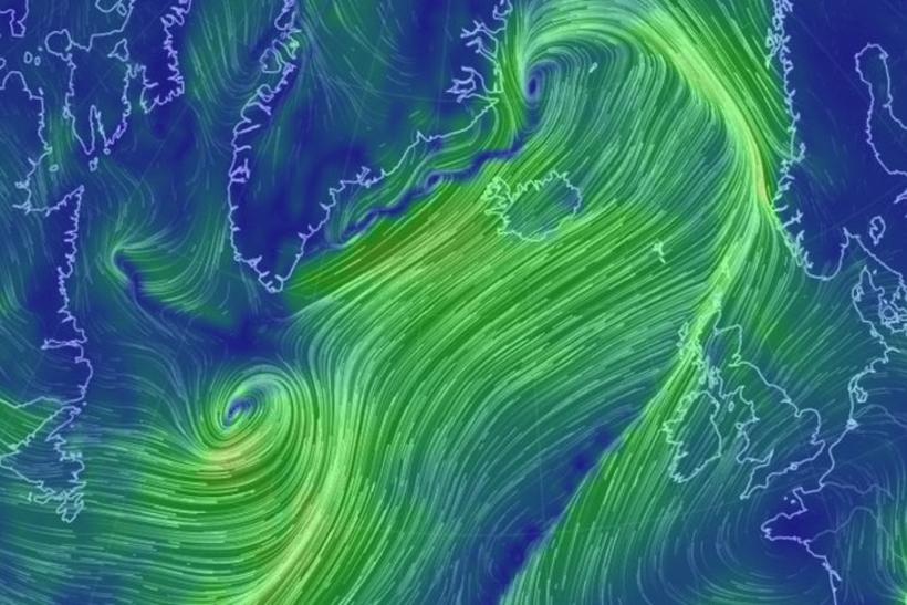
Screenshot from Nullschool.net
A deep area of low pressure is approaching the south-west coast of Iceland, according to information from the Iceland Met Office.
The depression is currently to the south of Greenland and will work its way up the west coast of Iceland, dragging stormy, sleety and rainy conditions across the country from the south-east. This area of low pressure will be hitting Iceland tomorrow and will be followed by a procession of new depressions from Tuesday of next week.
The forecast for the next 24 hours is for strong winds and hail in the south-west and brighter conditions in the north-east. Conditions will calm for a time this evening before the arrival of sleet and rain from the south-east. Southern Iceland will see the heaviest downpours.
Tomorrow afternoon the wind will move to the south, bringing rain and hail showers, while brighter conditions return in the north-east. The temperature will hover around 0°C.
You can follow the progression of these weather systems here.