Eruption update: Fissure reaches 1.2 kilometers in length
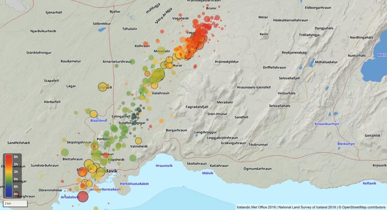
The map shows seismic activity on the magma corridor since 4 am this morning. Map/The Icelandic Met Office
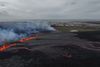
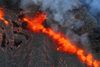
The ongoing volcanic eruption at the Sundhnúkagígar crater row continues to intensify, with the eruption fissure now stretching approximately 1,200 meters and expanding southward.
According to the latest update from the Icelandic Meteorological Office, the magma corridor now extends over three kilometers farther northeast than in previous eruptions. Deformation data indicate ongoing ground displacement in this direction, suggesting that magma is still actively moving through the corridor.
Significant ground movement and infrastructure damage
The fissure opened within the protective dikes constructed to shield Grindavík from lava flows, following strong earthquakes in the area leading up to the eruption.
Reports have also emerged of a ruptured hot water pipeline north of Grindavík, which the Meteorological Office confirms is linked to significant faulting within the town.
Seismic activity continues
Seismic measurements indicate continued earthquake activity throughout the magma corridor, with the most intense activity occurring at its northeastern end. Authorities are closely monitoring the situation as the eruption develops.
Residents and travelers in the area are advised to stay updated on official guidance as conditions may change rapidly.


/frimg/1/59/34/1593453.jpg)