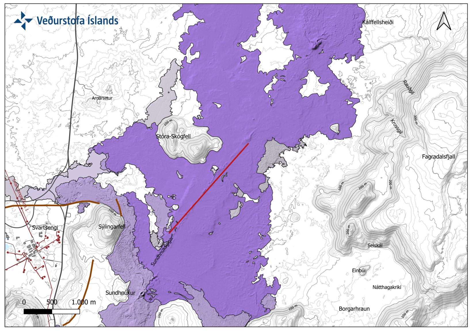
A map of the approximate location of the fissure
The Icelandic Met Office has prepared a map showing the approximate location of the eruption.
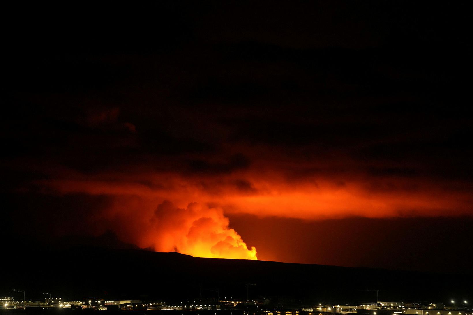
An eruption on the Reykjaness Peninsula erupted at 11:14 p.m. between Mt Stóra-Skógfell and Mt Sýlingarfell, but the first signs of magma run appeared at 10:30 pm when a series of small earthquakes began.
The fissure has now extended in a northeasterly direction.
No lava flow towards Grindavík
The first news about the lava flow indicates that the lava flows to the west and lies to the south in Mt Stóra-Skógfell, as stated in the announcement of the Icelandic Met Office. No lava flow can be seen going in the direction of Grindavík.
However, there is a strong northerly direction in the area, which directs gas pollution southwards over the town.


