News
| Iceland Monitor
| Wed 5 Jun 2024
| 13.00 GMT
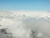
NASA's satellite image of the eruption
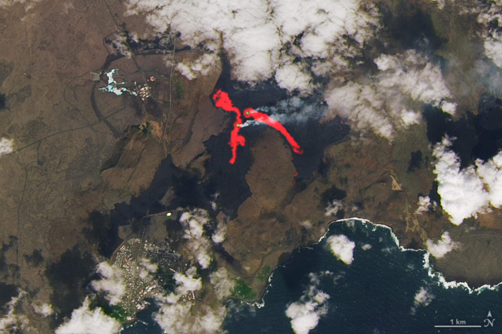
Red hot glowing lava tongues are clearly visible, showing where the lava has flowed from the eruption. Photograph/NASA
The US space agency NASA has published satellite images that show clearly how the lava flow of the eruption at Sundhnúkagígar crater row has flowed.
If you look at Grindavík on the map, you can see that the defence wall to the west of the town has served its purpose well.
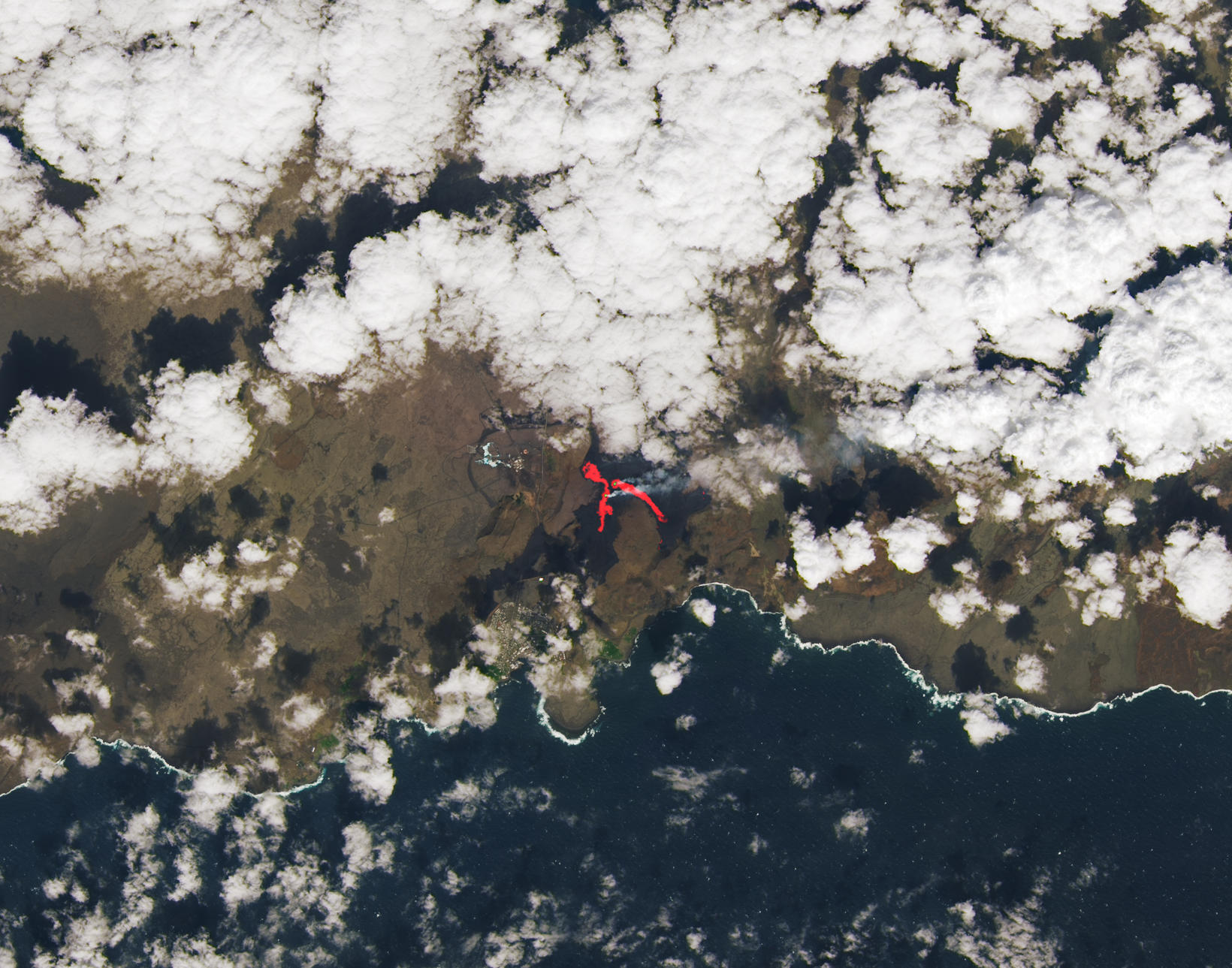
The clouds are almost covering the eruption site. Photo/NASA