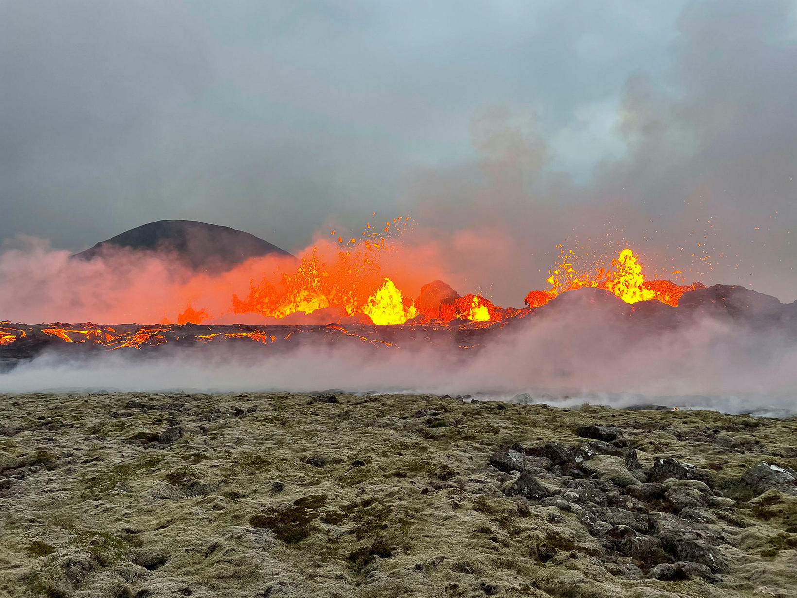
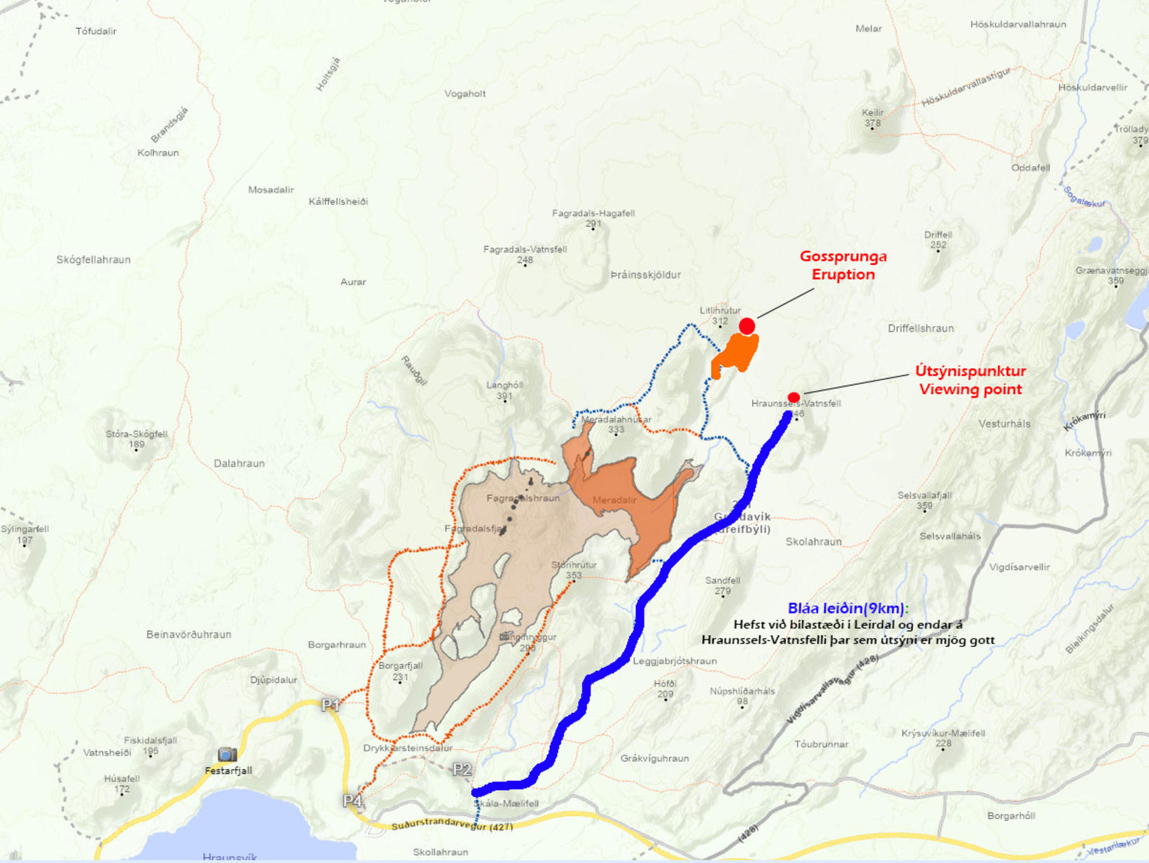
Opened the route to the eruption site
The area of the eruption sites has been opened from the southern coastal road, a route known as Meradalir route. No other roads or road access have been opened.
This is in a notice from the Suðurnes Police.
The Icelandic Met Office will issue an updated danger map of the area later today. The walk towards the eruption zone is about 20 km back and forth. There is no guarantee of mobile phone reception in the area.
So the walk is not suitable for everyone at all, the announcement says.
“It is important to bear in mind that the eruption site is a dangerous area where conditions may change suddenly. Police warn people to stay near the eruption site because of gas pollution. The risk increases when the wind gets lower. Then life-threatening gases can build up in depressions and prove fatal. New fissures can open up quickly, and incandescent lava can fall from the edge of the lava field, causing rapid and sudden outbursts of water and violent outbursts of the atmosphere, causing new lava tubes to break out in what can be difficult to avoid in the run,” the report stated.
People are also encouraged to dress for the weather, take food and charge mobile phones.
The police also repeatedly say that off-road driving is forbidden. Tourists are asked to comply with the first responder’s instructions and it is recalled that the mountain Keilir is in a designated danger zone.
Forecast of weather monitoring of gas distribution:
The northern direction, 5-10 m/s, 8-13 tomorrow. The gas pollution is therefore spreading to the south and could be detected in areas such as Grindavík and on Suðurstrandarvegur.
A much slower wind will temporarily slow overnight. Gas pollution could spread widely around the source area in the morning.


