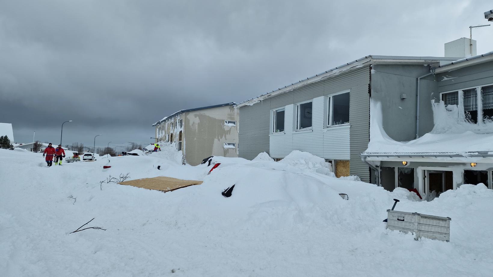
Relief from evacuations expected this afternoon
The danger of avalanches has diminished and people are expected to be allowed to return to their homes in the evacuated areas. Photo/ICE-SAR Landsbjörg
There has been considerable precipitation in the East pf Iceland overnight, but a yellow weather warning was in place in the East Fjords until 13:00 today. Despite precipitation, no flooding has occurred overnight, although river growth has been considerable. This confirms Magni Hreinn Jónsson at the Icelandic Met Office.
The situation has greatly improved
As previously reported, however, several avalanches have occurred in the last few days in East Iceland and there has been a level of uncertainty declared due to the risk of avalanches in East Iceland. A hazard level is in effect in Neskaupstaður, Seyðisfjörður, Eskifjörður, Fáskrúðsfjörður and Stöðvafjörður.
“No collapsing or avalanches have fallen overnight,” says Jónsson. Everything is quiet in East Iceland, as it is now.
He adds that the situation will improve in the afternoon. “Then you can check with the evacuation relief.”
Avalanche risk in the East Fjords has decreased since the mountains started warming up, but the risk of floods has increased. There is not considered a risk of mud slides, according to a report from the East Iceland Police.
The police met with the Met Office this morning where they were checking and possible evacuation lifts were made. The situation is still being assessed, although there are expected to be lifted this afternoon. The extent of the restrictions is not clear.
In the past, meters on the slopes above Seyðisfjörður are closely monitored. No significant movement has been observed and the groundwater level is low.
The forecast was for the rain to stop ad midday and the temperature getting colder, further reducing the risk of avalanches and floods.


